There is a vast amount of Digital Data available for the United States - most of the trouble simply comes down to locating it and determining whether or not it's viable to use. Below are descriptions of some of the most common data sets and web sites for data in the US.
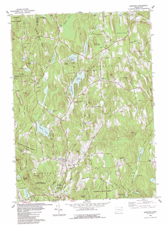
DRGs are scanned USGS topographic quads that come in TIFF or Mr. Sid format. They are georeferenced through "heads up" digitizing and can be acquired through the USGS web site.
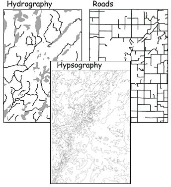
DLGs are vector representations of many of the features on USGS topographic quadrangles. These can be acquired through USGS, and represent features such as:
DEMs provide elevation data in a raster format. They are available for most of the earth at 30- to 10 meter resolutions. These can be acquired through USGS Earth Explorer.
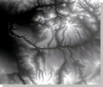
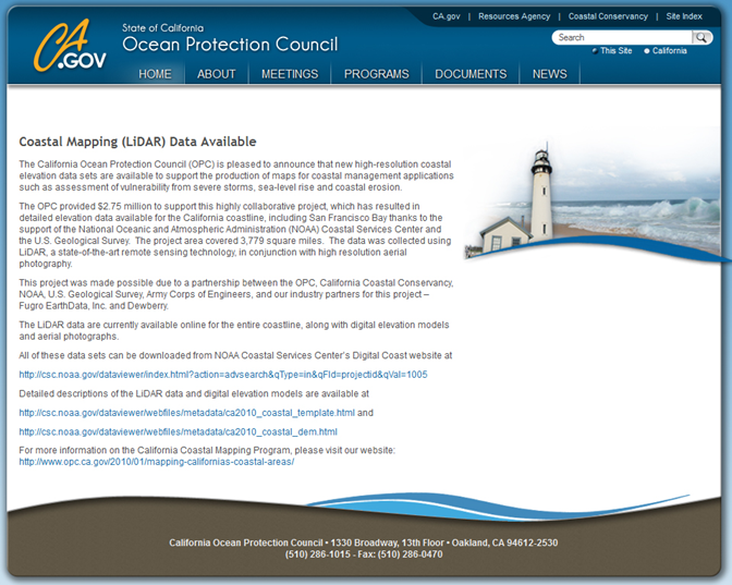
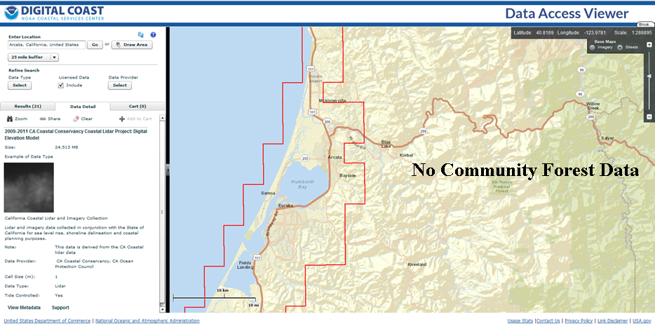
California's Ocean Protection Council provides access to high resolution elevation data from LiDAR.
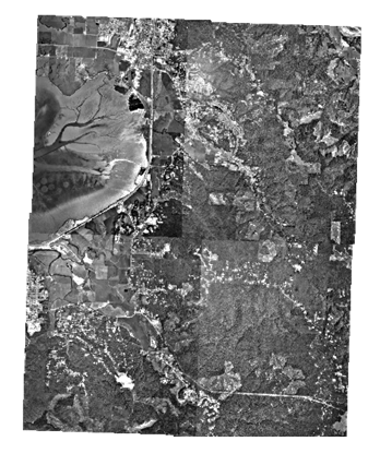
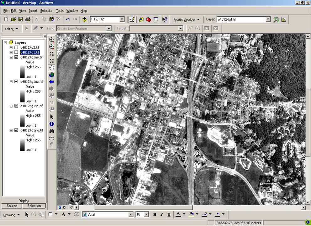
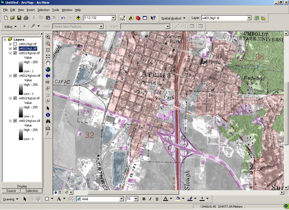
DOQs and DOQQs are scanned aerial photographs which have 1 meter resolution, are typically black and white, georeferenced to UTM, available for much of the US, and can be obtained through the USGS .
Production began in 1991 and was led by USGS.
The acquisition of NAIP imagery began in 2003 by the USDA. The program has the intention of providing agricultural surveys for the purpose of estimating crop yields. NAIP imagery has 1 meter resolution, true color composites (RGB), some infrared products, is georeferenced to UTM (NAD83). NAIP for Humboldt County is available on our Academic Storage network drive. Otherwise, they can be difficult obtain. There is more information at the USDA web site.
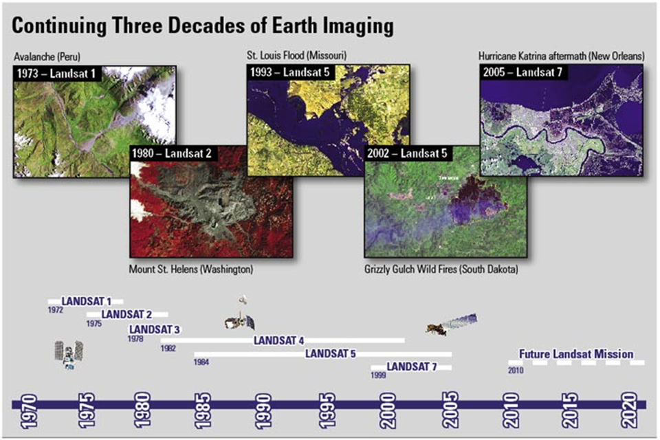
LandSat is the longest running satellite system on the earth and has providing data since 1972. The data is now all free as well! The data is available at the USGS EarthExplorer web site.
Glovis is another source of spatial data from the US government and some users prefer this web site to EarthExplorer.
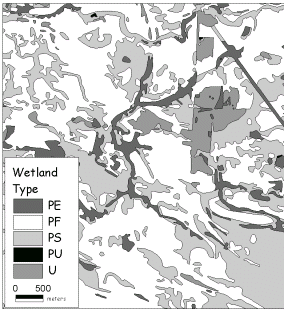
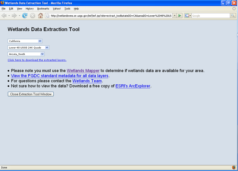
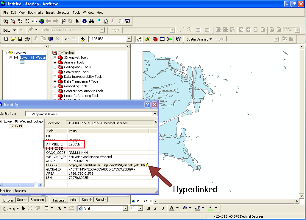
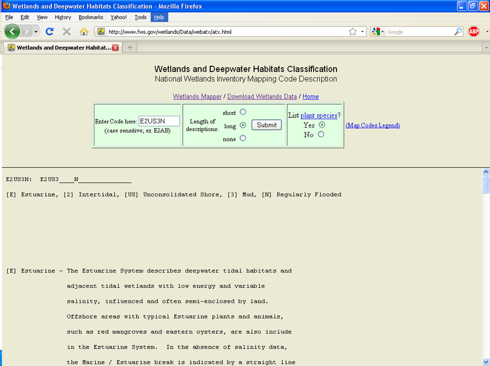
The National Wetlands Inventory provides data on the location, condition, and characteristics of wetlands. The data is provided through the US Fish and Wildlife Service, and can be acquired from NWI.
NHD provides data on rivers, streams, canals, ditches, lakes, ponds, springs, wells, canals, pipelines, and dams. The data is based on 1:100,000 scale USGS DLG Data, and can be acquired from USGS at their NHD website.
National Atlas is no longer available! Very sad.
USGS LULC data are classified images that were derived from aerial photographs and based on 1:100,000 - 1:250,000 scale USGS Topo Quads. Publications on land use and land cover can be found here.
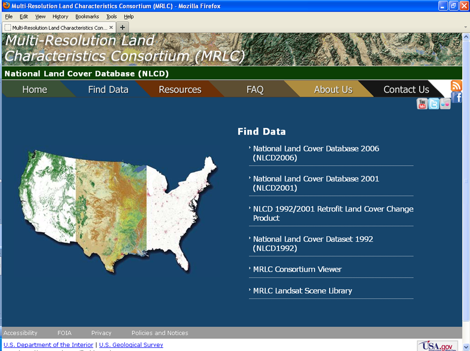
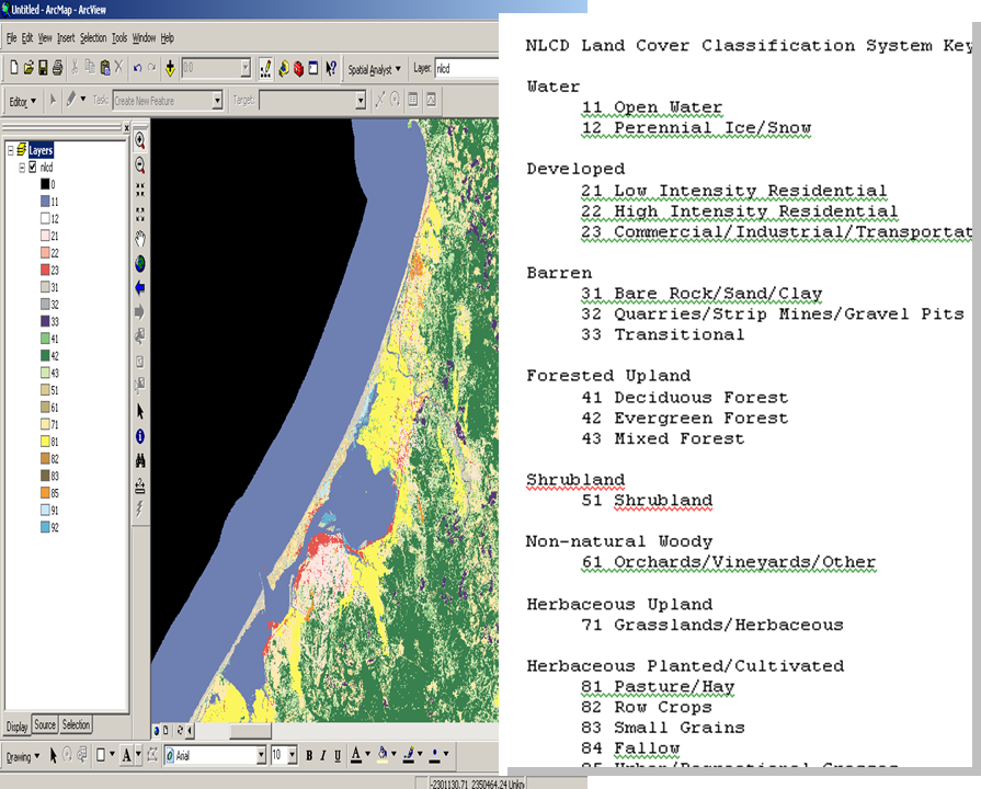
NLCD provides classifications derived from LandSat imagery from 2001 to 2011.
California Land Cover Data is managed by the Department of Forestry and Fire Protection (CDF), through the Fire Resource Protection Program (FRAP). It is Multi-source Land Cover Data (v02_2) that was compiled for the Forest and Range 2003 Assessment, which can be acquired here (broken link).
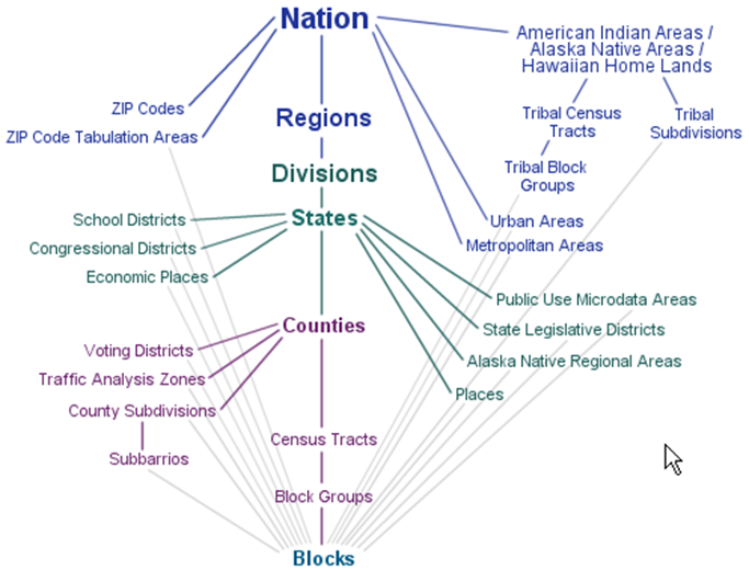
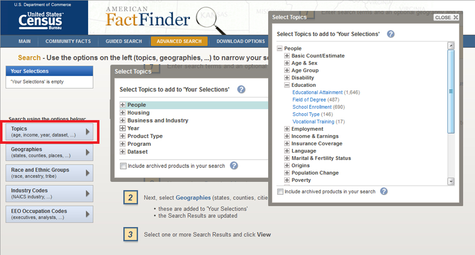
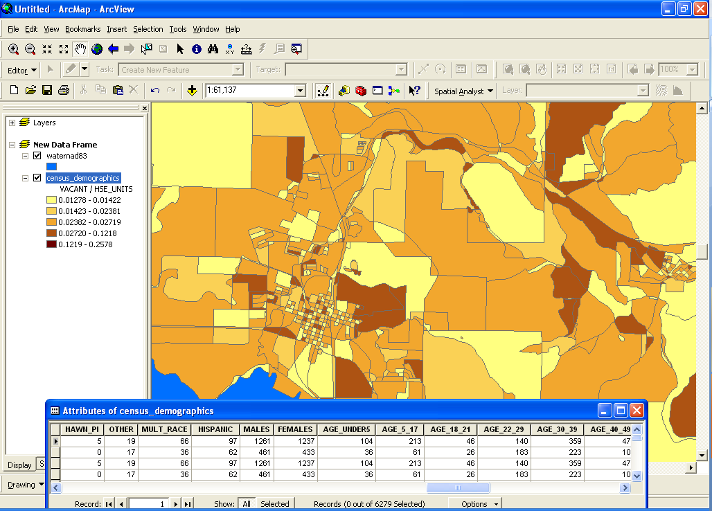
Census data can be obtained through the US Census Bureau via their TIGER (Topologically Integrated Geographic Encoding and Referencing) System. It is Spatial Data derived from the national census (household), and distributed by state, county, census track, census block, etc. Census data links geographic units (roads, hydrography, political boundaries, schools, parks, etc) to statistical data (population size, age, income, health, etc). This data can also be acquired through ArcGIS.
OpenTopography (aka OpenTopo): LiDAR point clouds and derived products (including DEMs).
© Copyright 2018 HSU - All rights reserved.